Drone photography, video and inspections in Port St. Lucie.
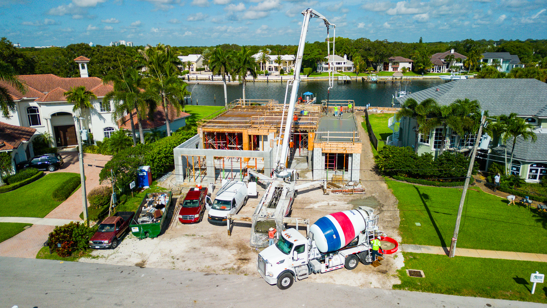
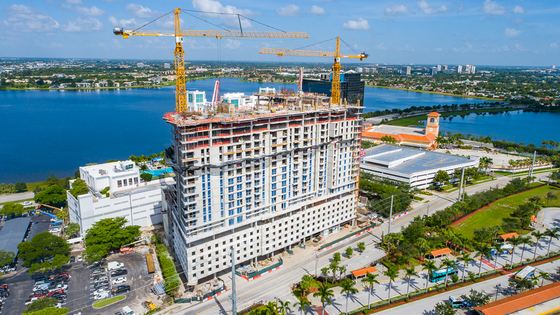
Tradition, St. Lucie West and the newer corridors are under continuous development, and that changes what the drone is for. Here the recurring work is progress documentation on active sites, running alongside listing photography for the homes those sites eventually produce.
Construction progress programs
Monthly flights from fixed positions so one month stacks against the last. Orthomosaic maps of the whole site, and time-stamped records that hold up in a pay application or a dispute.
New construction listings
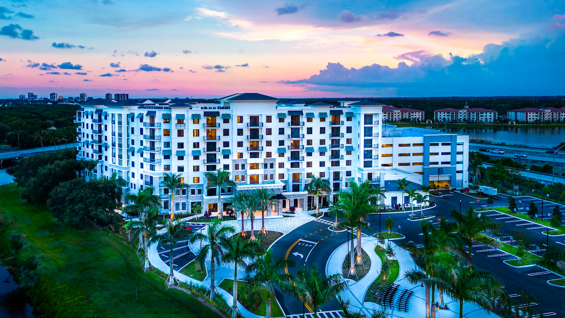
Homes and communities photographed as they deliver, showing the lot, the layout and the neighborhood while the landscaping is still filling in.
Land and development parcels
Raw parcels mapped from the air, so acreage, access and adjacency are visible in a single measurable image.
Recent flights from the portfolio.
Every image here is real client work flown by Dirk across South Florida.
Four services, one certified pilot.
Asked about Port St. Lucie.
How often should a site be flown?
What do we receive each month?
Do you fly active job sites safely?
Tell us about the Port St. Lucie project.
Address or area, what you need flown, and any deadline. You talk to the pilot, not a sales team.
(561) 253-4202Mon to Sat, 8 AM to 6 PM · Tequesta, FL
We also fly these.
Palm City
Palm City sits on the St. Lucie River in Martin County, and almost every search that finds us h...
See Palm CityStuart
Stuart is the Treasure Coast in one town: the inlet, the marinas, the historic downtown and the...
See StuartRoyal Palm Beach
Royal Palm Beach is the single most searched term in our traffic, and almost all of it asks for...
See Royal Palm Beach