Construction drone mapping. A site walk tells a story, a record settles it.
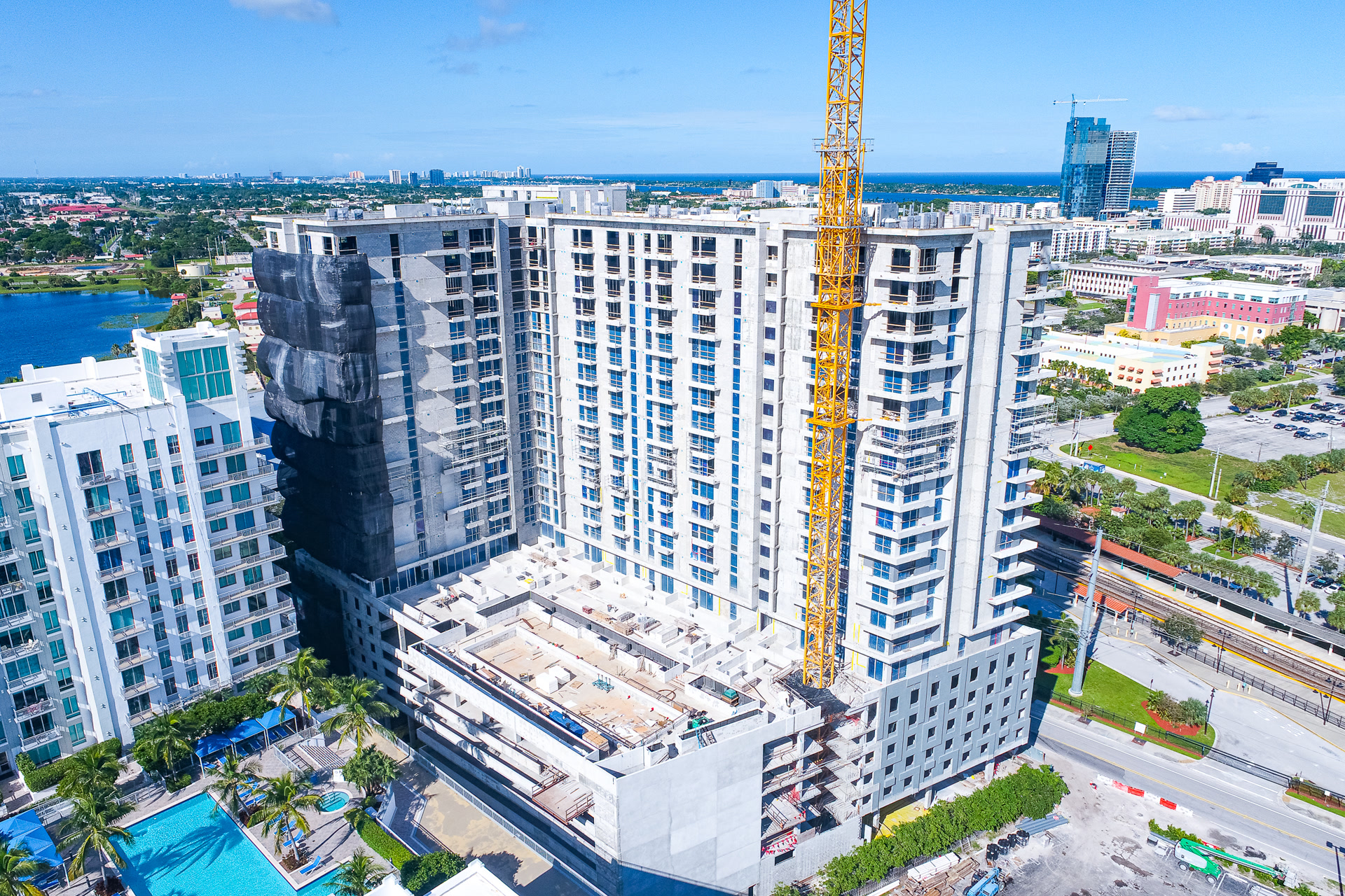
When a schedule dispute or a change order lands on the table, the side with time-stamped aerial documentation wins the conversation. Monthly flights from the same fixed angles turn your progress into evidence: attach it to pay applications, send it to stakeholders, and keep everyone looking at the same site.
01
Fixed-angle comparisons
The same shots from the same positions every month, so progress is obvious at a glance.
02
Orthomosaic mapping
A single stitched, measurable aerial map of the whole site, updated with every flight.
03
Time-stamped records
Dated documentation of site conditions that stands up in pay apps, claims, and court.
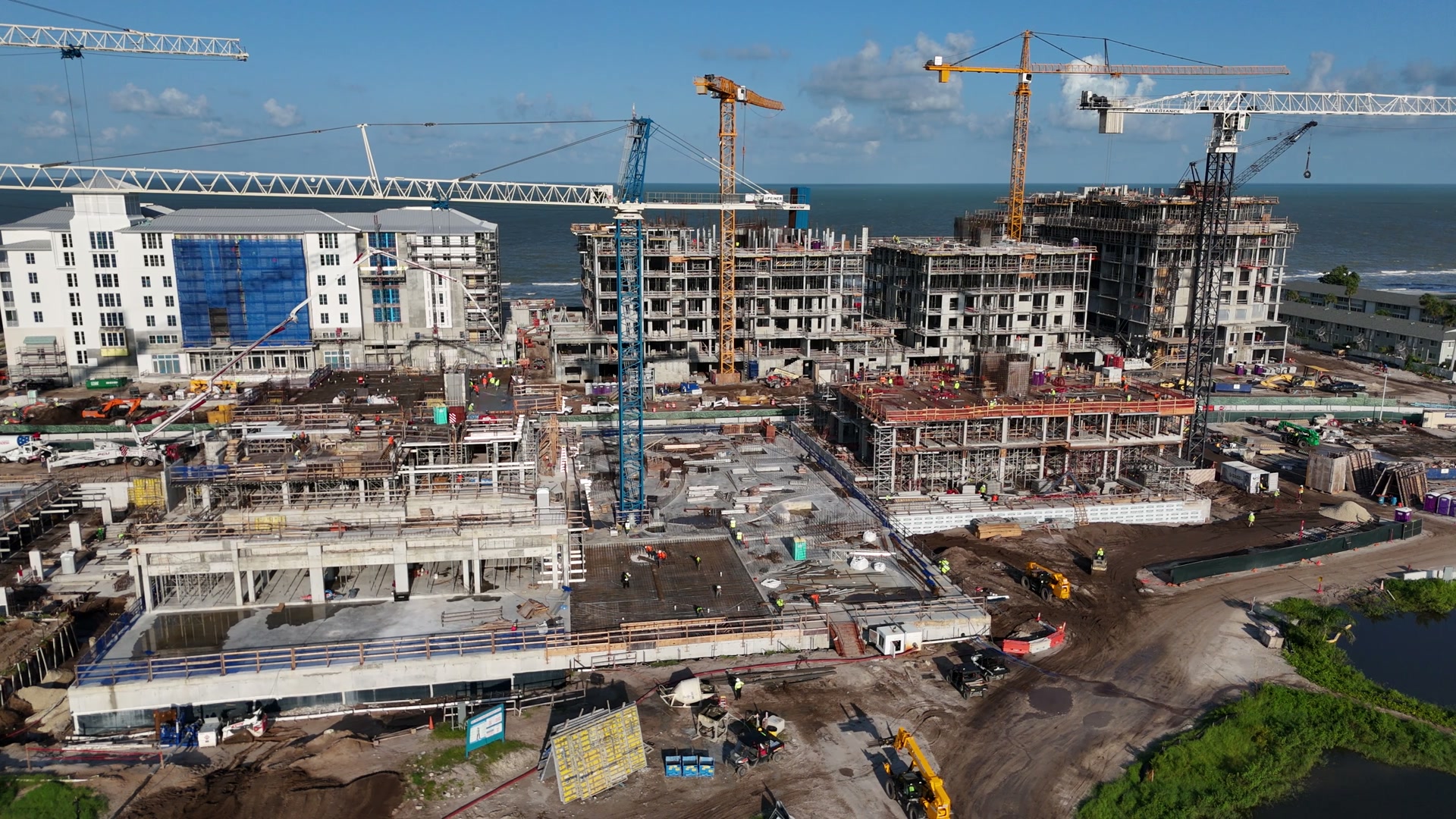
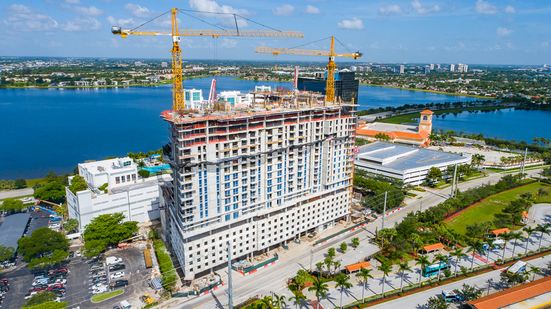
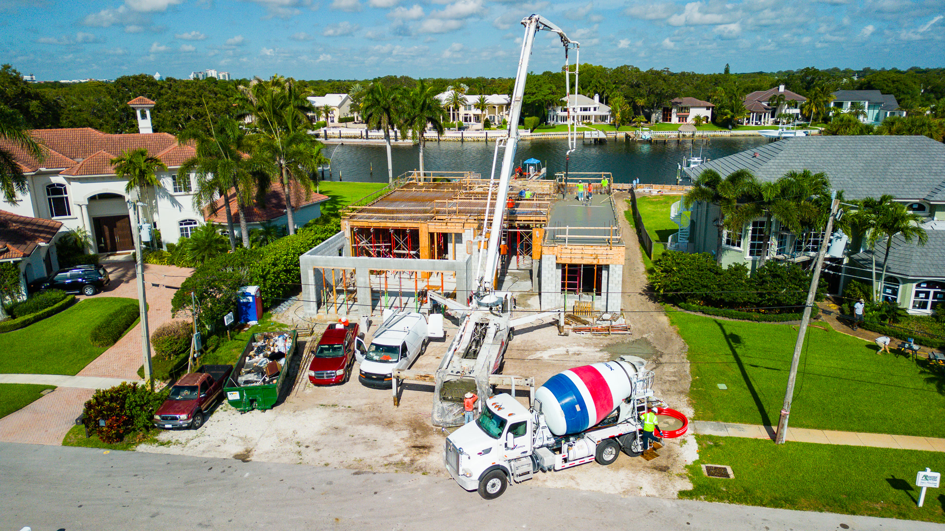
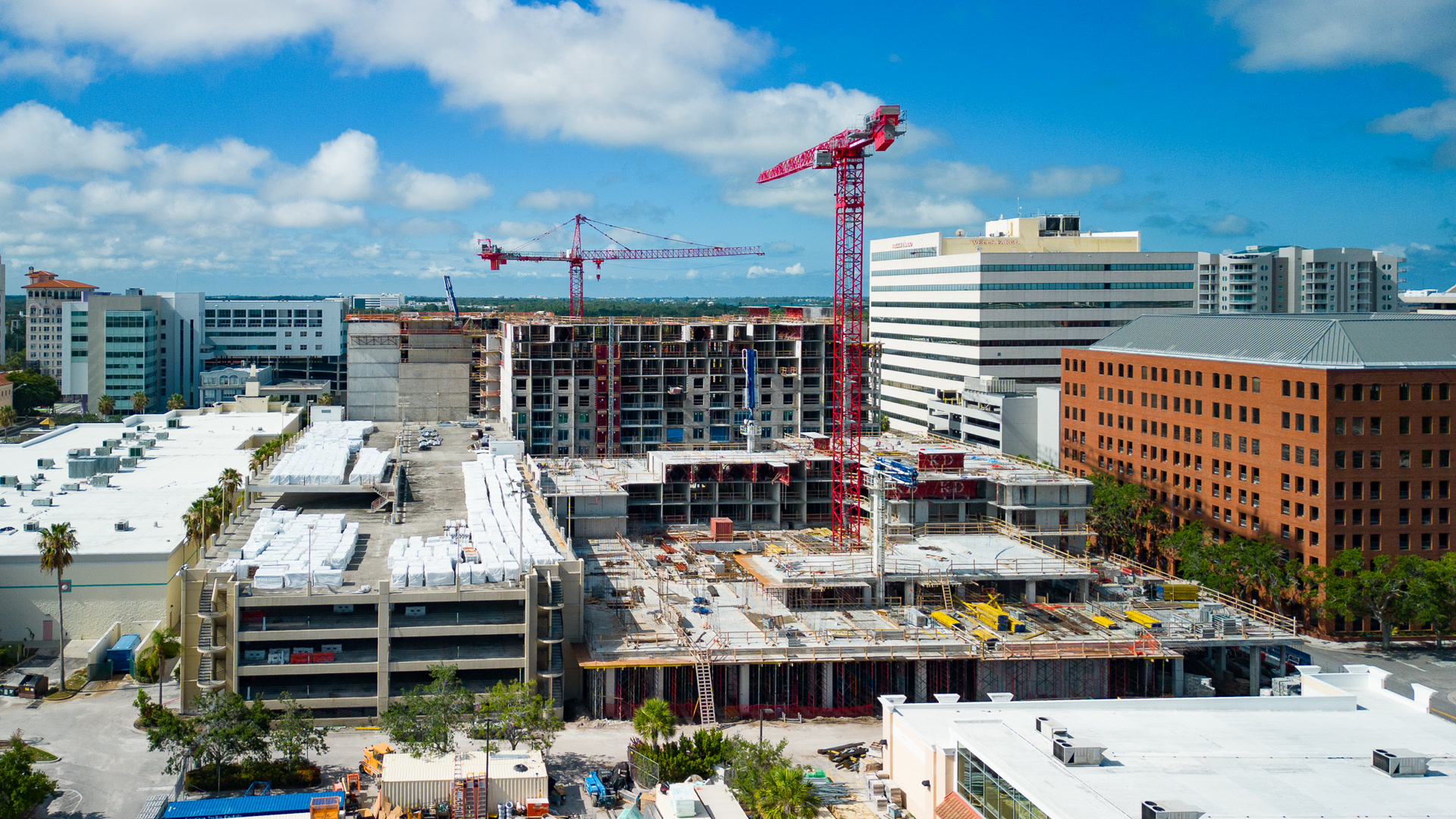
Single homes to city-block towers.
Questions
What GCs and developers ask.
Can you match the flight schedule to our pay application cycle?
Yes. Most clients time the monthly flight a few days before pay apps go out, so the imagery lands in the package. Tell us your cycle and the schedule locks to it.
Do you fly active sites safely and legally?
Every flight is FAA Part 107 compliant, insured, and planned around your crane and crew activity. We coordinate with your superintendent and never disrupt work.
What do we receive each month?
Edited fixed-angle photos matched to prior months, an updated orthomosaic map, and raw files on request, delivered within 24 hours of each flight.
Get your number
Tell us about the site.
Location, project duration, and how often you want flights. You get a program price in one conversation.
(561) 253-4202Mon to Sat, 8 AM to 6 PM · Tequesta, FL